Google never seizes to amaze us. They are willing to do almost anything to get their tech up to scratch.
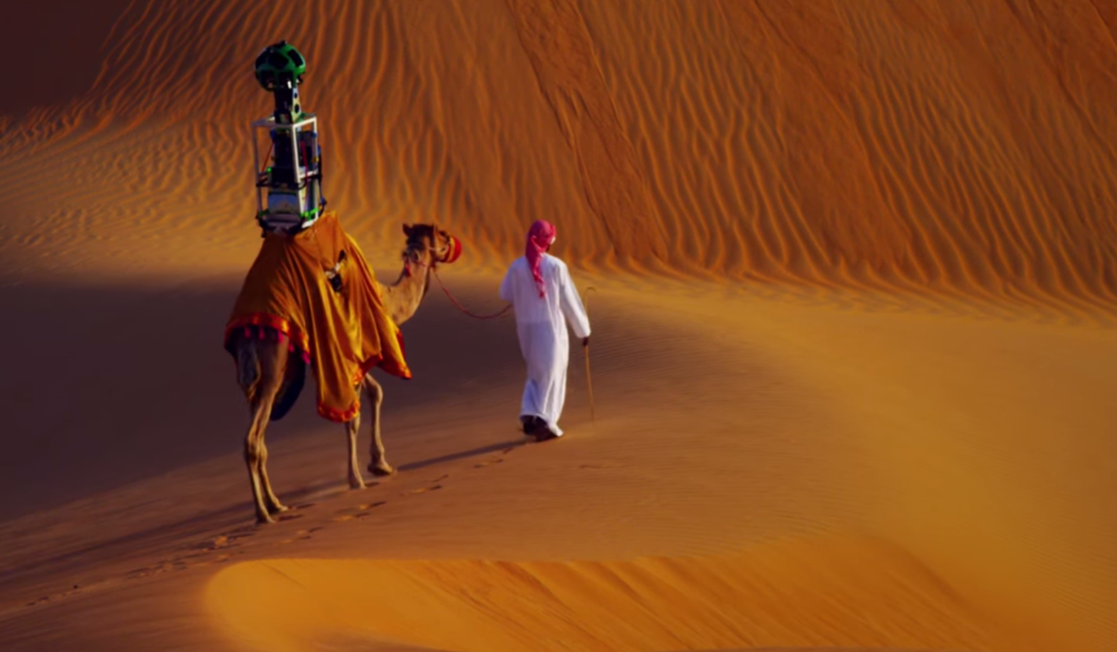
Google wanted to give us a view of the Liwa Oasis—the largest oasis in the Arabian peninsula. The solution they chose was to place their famous Trekker (an all angle camera used to take images for the Google Maps) on a camel and get it to walk around the desert.
Google Said “To bring this stunning desert to Street View, we fashioned the Trekker to rest on a camel, which gathered imagery as it walked. Using camels for the collection allowed us to collect authentic imagery and minimize our disruption of this fragile environment.”
Conclusion: Google is a technology giant as of the date of this article. This tells us all why they are — they give everything they got to get what they want. An advice to any business in this new age!
